


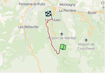
les allues

goizet
User

Length
12.8 km

Max alt
1868 m

Uphill gradient
256 m
Km-Effort
18.5 km

Min alt
1103 m

Downhill gradient
917 m
Boucle
No
Creation date :
2018-10-01 17:51:04.614
Updated on :
2018-10-01 17:51:04.674
6h43
Difficulty : Easy

FREE GPS app for hiking
 SityTrail
IGN / Geographical institutes
SityTrail Plus
The world is yours!
About
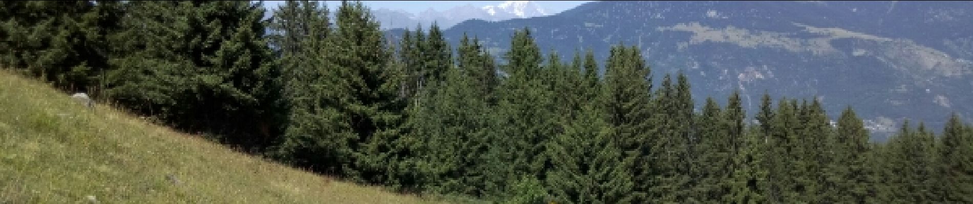
Trail Walking of 12.8 km to be discovered at Auvergne-Rhône-Alpes, Savoy, Les Allues. This trail is proposed by goizet.
Photos


Positioning
Country:
France
Region :
Auvergne-Rhône-Alpes
Department/Province :
Savoy
Municipality :
Les Allues
Location:
Unknown
Start:(Dec)
Start:(UTM)
309828 ; 5027445 (32T) N.
Comments